
Top search terms
SOLUTIONS





01
Application Introduction
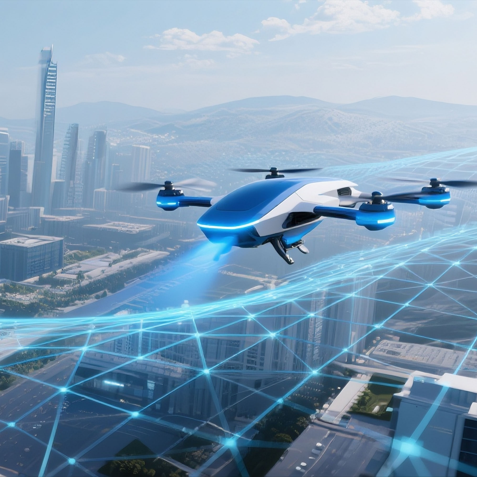
Low-Altitude Economy
Land survey refers to the activities of investigating, monitoring, statistical analysis, and reporting on the natural attributes of land (such as land type, location, area, distribution, etc.), social attributes, and their changes, as well as the status of basic farmland. It is of great significance for promoting sustainable economic and social development, and strengthening the management of land and resources.
The "Integrated Registration of Land and Buildings" in rural areas refers to the registration of houses that have been actually built and used on rural homesteads and collective construction land, aiming to improve land use efficiency and ensuring the sustainable use of land resources.

Industry Applications
- Third National Land Survey
- Rural "Integrated Registration of Land and Buildings"
- Development of Suitable Reserve Cultivated Land Resources
- Agricultural Land Consolidation
- Land Reclamation
- Rural Construction Land Consolidation
02
Application Introduction
Planning & Natural Resources
Land survey refers to the activities of investigating, monitoring, statistically analyzing, and reporting on the natural attributes of land and their changes, as well as the status of basic farmland. It includes national land surveys, land change surveys, and special land surveys.
Land consolidation refers to activities aimed at improving land use efficiency and ensuring the sustainable use of land resources, including the rearrangement of improperly utilized land, the restoration of land damaged by production and construction activities or natural disasters, and the development of unused land.

Industry Applications
- Third National Land Survey
- Rural "Integrated Registration of Land and Buildings"
- Development of Suitable Reserve Cultivated Land Resources
- Agricultural Land Consolidation
- Land Reclamation
- Rural Construction Land Consolidation
03
Application Introduction
Municipal Construction
Municipal engineering surveying refers to the surveying work carried out for the planning and design, construction setting-out, and completion acceptance of municipal engineering construction. Municipal engineering refers to the construction of municipal infrastructure facilities.
Various public infrastructure constructions for urban living support fall within the scope of municipal engineering. For example, common urban roads, bridges, subways, and various pipelines closely related to daily life (such as rainwater, sewage, water supply, electric power, telecommunications), as well as urban greening areas.

Industry Applications
- Completion Survey of Municipal Roads
- Construction of Power Cable Trenches
- Construction of Drainage Pipelines
- Municipal Road Surveying
04
Application Introduction
Water Resources Industry
Hydrological surveying and mapping is a comprehensive surveying task primarily used in river management, water resource development, utilization, and protection. The main contents include plane and elevation control surveying, topographic surveying, and deformation observation.
Digital twin hydrology refers to the use of new-generation information technologies such as cloud computing, big data, and artificial intelligence to collect full-scale data, achieve visual display of rivers, reservoirs, water network construction, and conduct intelligent simulation and forward-looking pre-rehearsal.

Industry Applications
- Aerial Surveying and Mapping for Pre-Flood Conditions
- Dam Deformation Monitoring
- Bathymetric Surveying (Water Depth Measurement)
- River Area Surveying
- Reservoir Capacity Mapping
05
Application Introduction
Civil Affairs Departments
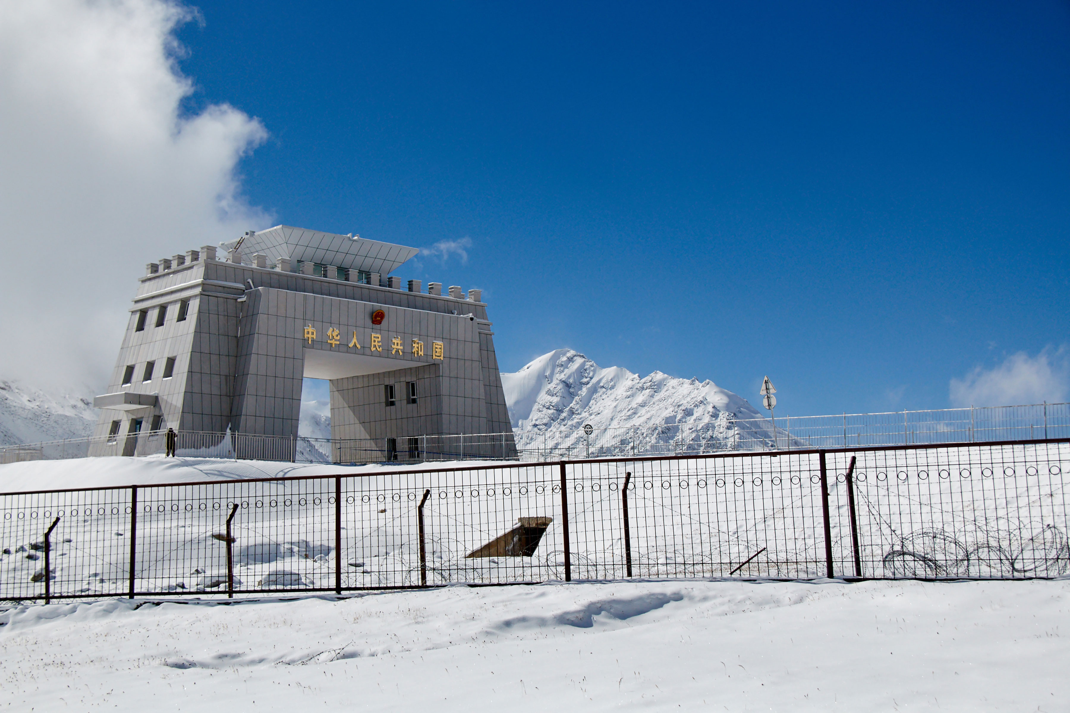
Boundary surveying refers to the surveying of administrative region and land parcel boundaries, boundary points, and important boundary marker facilities. The purpose is to confirm the location and orientation of administrative boundaries and provide basic data for government boundary management at all levels.
The purpose of the national place name census is to ascertain the basic information of place names, improve the standardization level of place names, strengthen the construction of place name information services, and provide comprehensive and accurate place name information to society.
Industry Applications
- Administrative Boundary Point Boundary Markers
- Second National Place Name Census
- Place Name Survey
06
Application Introduction
Transportation
Surveying work carried out for road design, construction, and other purposes, including line stake-out, cross-sections and longitudinal sections, leveling and elevation surveying, as well as surveying of bridges, culverts, etc. It mainly includes highway engineering, railway surveying, and subway surveying.
The application of surveying and mapping in the transportation industry is mainly reflected in enhancing the digitalization level of highway design and construction, promoting smart construction, and optimizing the surveying and mapping processes.

Industry Applications
- Route Alignment Surveying
- Smart Transportation
- Bridge Surveying
- Tunnel Surveying
07
Application Introduction
Agriculture & Rural Affairs
Smart agriculture takes cloud computing as its core, fully leverages the Internet of Things and mobile Internet, and integrates network communication technologies into all aspects of agriculture, forming a new management paradigm based on intelligent agricultural management and services.
Surveying, mapping, and geographic information can provide a large amount of valuable reference data for crop yield estimation, natural disaster monitoring, soil and water conservation research, and biodiversity assessment. It also supports the official rural land contractual management rights registration.

Industry Applications
- Agricultural Information Public Services
- Comprehensive Agricultural Data Management
- Confirmation and Registration of Rural Land Contractual Management Rights
08
Application Introduction
Cultural Heritage Protection
Cultural heritage is the trace of human activities over thousands of years, containing a wealth of historical information. However, many relics have been affected by environmental factors or damaged by human activities, resulting in the continuous loss of historical information.
Safeguarding millennia of human history from environmental damage via digital virtual restoration is critical. By digitalizing ancient relics, we ensure lost civilizations are preserved indefinitely within a modern cultural tourism metaverse.

Industry Applications
- Digitalization of Cultural Heritage
- Digital Virtual Restoration Design
- Digital Achievement Display System
- Cultural Tourism Metaverse
- Cultural Relics Survey
09
Application Introduction
Natural Disaster Surveying
Emergency surveying and mapping support services are an essential foundational work throughout the entire process of emergency prevention, response, handling, and recovery of sudden events.
They constitute an important component of the national emergency response system for sudden events. Strengthening the capacity building of emergency surveying and mapping support services is essential to better serve the emergency management of sudden disasters.

Industry Applications
- Emergency Surveying and Mapping for Geological Disasters
- Comprehensive Risk Survey of Natural Disasters
10
Application Introduction
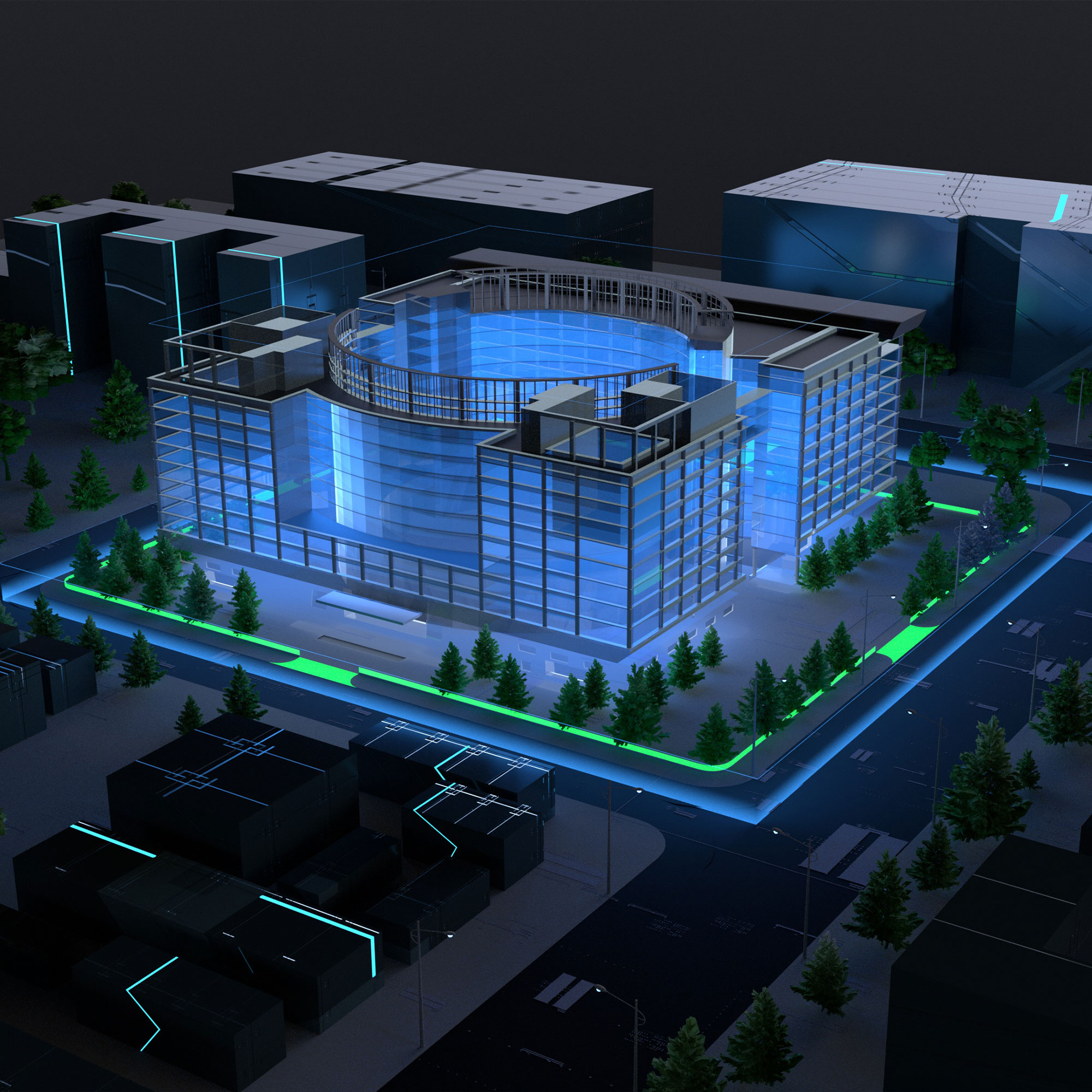
Smart City
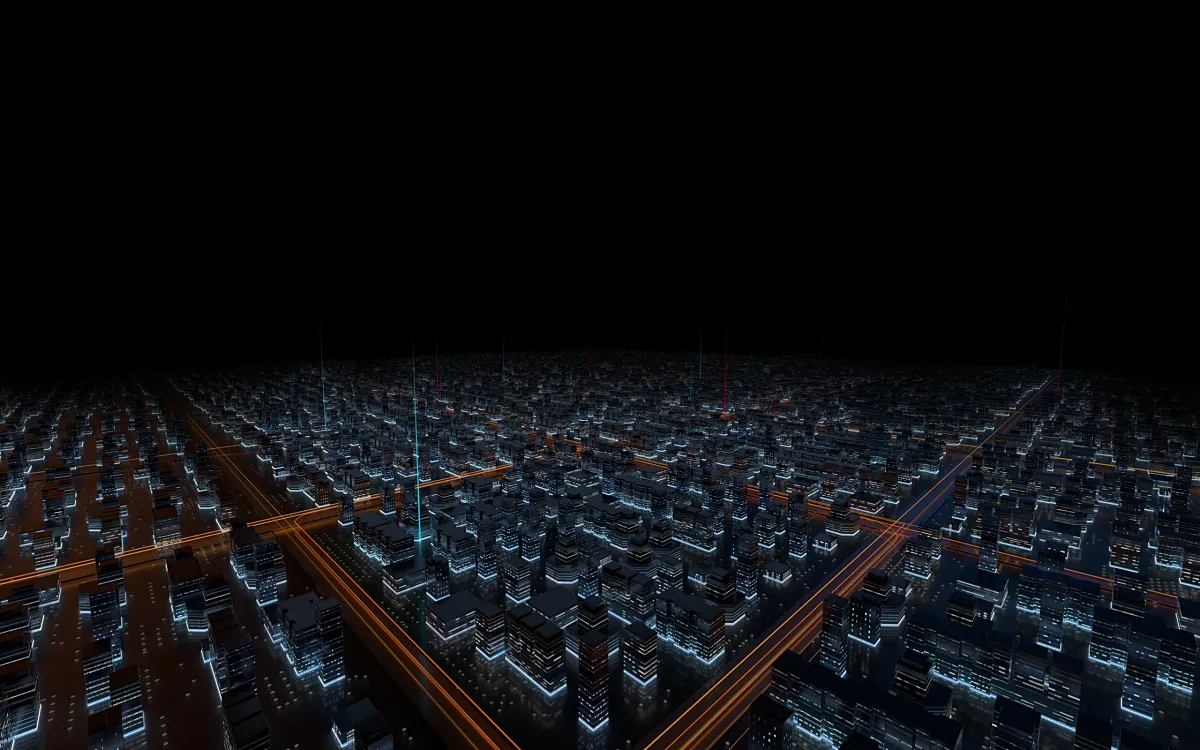
Smart City refers to the use of information and communication technology means to sense, analyze, and integrate key information from the core systems of urban operations, thereby enabling intelligent responses to various demands including people's livelihoods, environmental protection, and public safety.
With the continuous development and application of advanced information technologies such as the Internet of Things and cloud computing, cities are progressively transforming into a world interconnected by systems, evolving into "smart cities" that integrate numerous concepts and technologies.

Industry Applications
- Smart City Operations Command Center
- Micro City & Smart Community
- Smart Urban Management & Environment
- Smart Healthcare & Tourism
- Collection Vehicle System
FAST
SAFE
CERT
GLOBAL
SECURE
SPEED
TRUST
24/7
INDUSTRY NEWS
LATEST INSIGHTS
Discover the latest advancements and insights shaping our dynamic industry.
Digital Twin Solutions for Low-Altitude Economy and Smart Cities
Integrated Air-Space-Ground "Sense-Decide-Act" Full-Chain Closed-Loop Services